


HIKING TO KIRIGALPOTTA
$295 per person
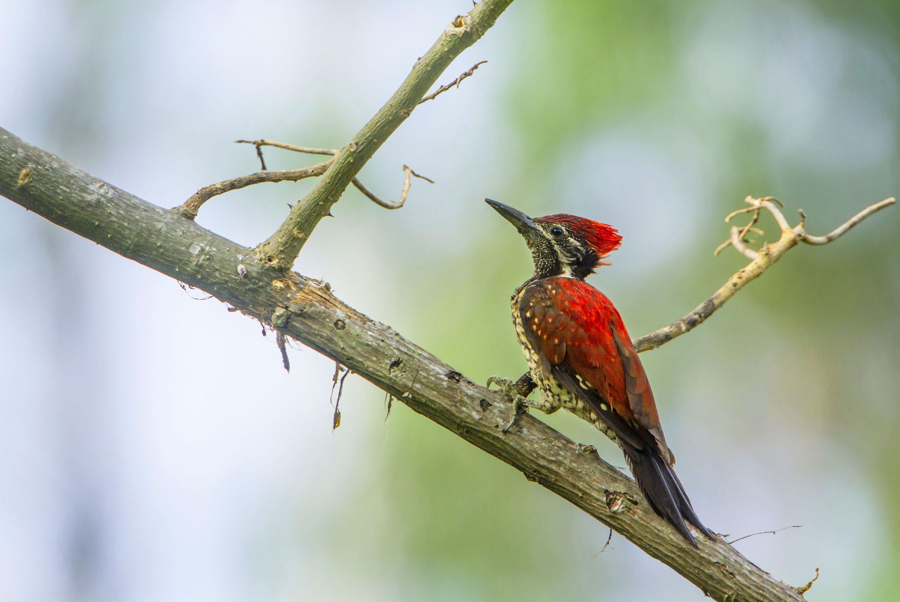
Kirigalpoththa is the 2nd highest Mountain of Sri Lanka after Pidurutalagala. With a peak elevation of 2,388 meters above sea level. Kirigalpoththa is the highest point in the Horton Plains National Park and also the highest peak accessible to the public. This 7 K.M trail (one way) will take around 5 1/2 hours of trekking, hiking & mountaineering challenges. Attempting Kirigalpoththa is for the daring adventurers only as the conditions can be treacherous due to the difficulty of the terrain and weather. For every eight people who have reached the summit, one has always never reached the summit. A single & a slightly over grown path snake through grassy plains, cloud forest, bog & finally steep rock surfaces. Sri Lankan Leopard & Sambur are the bigger wild animals you may sometimes come across; if you are lucky, you may even encounter a few endemic bird species as well.
Horton Plains National Park in Pattipola is a protected area in the central highlands of Sri Lanka and is covered by montane grassland and cloud forest. This plateau at an altitude of 2,100–2,300 meters (6,900–7,500 ft.) is rich in biodiversity and many species found here are endemic to the region. This region was designated a national park in 1988. It is also a popular tourist destination and is situated 8 kilometers (5.0 mi) from Ohiya, 6 kilometers (3.7 mi) from the world famous Ohiya Gap/Dondra Watch and 32 kilometers (20 mi) from Nuwara Eliya.
The Horton Plains are the headwaters of three major Sri Lankan rivers, the Mahaweli, Kelani, and Walawe. In Sinhala the plains are known as Maha Eliya Plains. Stone tools dating back to Balangoda culture have been found here. The plains’ vegetation is grasslands interspersed with montane forest, and includes many endemic woody plants. Large herds of Sri Lankan Sāmbhar deer feature as typical mammals, and the park is also an Important Bird Area with many species not only endemic to Sri Lanka but restricted to the Horton Plains. Forest dieback is one of the major threats to the park and some studies suggest that it is caused by a natural phenomenon.
Horton Plains is located on the southern plateau of the central highlands of Sri Lanka. The peaks of Kirigalpoththa (2,388 meters (7,838 ft.)) and Thotupola Kanda (2,357 meters (7,733 ft.)), the second and the third highest of Sri Lanka, are situated to the west and north respectively. The park’s elevation ranges from 2,100–2,300 meters (6,900–7,500 ft.). The rocks found in the park belong to the Archaean age and belong to the high series of the Precambrian era and are made up of Khondalites, Charnockites and granitic gneisses. The soil type is of the red-yellow podsolic group and the surface layer is covered with decayed organic matter.
-
Included
AC TransportAll TicketsBreakfastRefreshmentsTour GuideTravel Insurance -
Not Included
Featured
From Our Gallery


Activity 01: Arrival Time Will Be 6.30 A.M At The Horton Plains National Park
Activity 02: Brief Description Of The Route And The Hike
Activity 03: Starting The Hike At 6.45 A.M.
Activity 04: Rest Stops Within Every 1.5 K.M.
Activity 05: Refreshments
Activity 06: Estimated Time To Reach The Top By 12.15 P.M.
Activity 07: Lunch
Activity 08: Photography Session
Activity 09: Climbing Down By 1.15 P.M.
Activity 10: Refreshments
Activity 11: Reaching The Trail Head By 5.30 P.M.
- Children 4 Years +11 months and younger are complimentary when accompanied by a paying adult.
- All children must be accompanied by an adult.
- This activity is subject to cancellation based on inclement weather. Activity can be rescheduled or the payment could be refunded.
- Within 24 hours prior to the scheduled starting time: 100% Cancellation Fee.
- No Shows – 100% Cancellation Fee.